Difference between revisions of "File:Ardrossan Level Crossing.jpg"
(→{{int:filedesc}}) |
(→{{int:filedesc}}) |
||
| (3 intermediate revisions by the same user not shown) | |||
| Line 1: | Line 1: | ||
=={{int:filedesc}}== | =={{int:filedesc}}== | ||
{{Information | {{Information | ||
| − | |description=Ardrossan Level Crossing | + | |description = Ardrossan Level Crossing |
| − | |Date=2014 | + | |Date = 2014 |
| − | |source=http://www.geograph.org.uk/photo/4172593 | + | |source = http://www.geograph.org.uk/photo/4172593 |
| − | |photographer=Peter Whatley | + | |photographer = Peter Whatley |
| − | |road=Princes Street | + | |road = Princes Street |
| − | | | + | |lat = 55.63950883290983 |
| + | |lng = -4.812919646501541 | ||
}} | }} | ||
| − | |||
| − | |||
| − | |||
| − | |||
| − | |||
| − | |||
Latest revision as of 01:04, 14 October 2015
Summary[edit]
Fatal error: The format of the coordinate could not be determined. Parsing failed. | |||||||||||||||||||||||
|
Galleries | Princes Street | ||
File history
Click on a date/time to view the file as it appeared at that time.
| Date/Time | Thumbnail | Dimensions | User | Comment | |
|---|---|---|---|---|---|
| current | 00:00, 8 October 2015 | 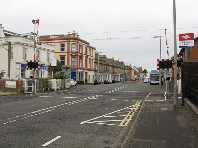 | 640 × 480 (73 KB) | Admin (talk | contribs) | User created page with UploadWizard |
- You cannot overwrite this file.
File usage
The following 2 pages link to this file: