File:Map of Dunduff castle & roads.jpg
Size of this preview: 338 × 599 pixels. Other resolutions: 135 × 240 pixels | 271 × 480 pixels | 338 × 600 pixels | 433 × 768 pixels | 578 × 1,024 pixels | 3,152 × 5,584 pixels.
Original file (3,152 × 5,584 pixels, file size: 3.02 MB, MIME type: image/jpeg)
Summary
| Description |
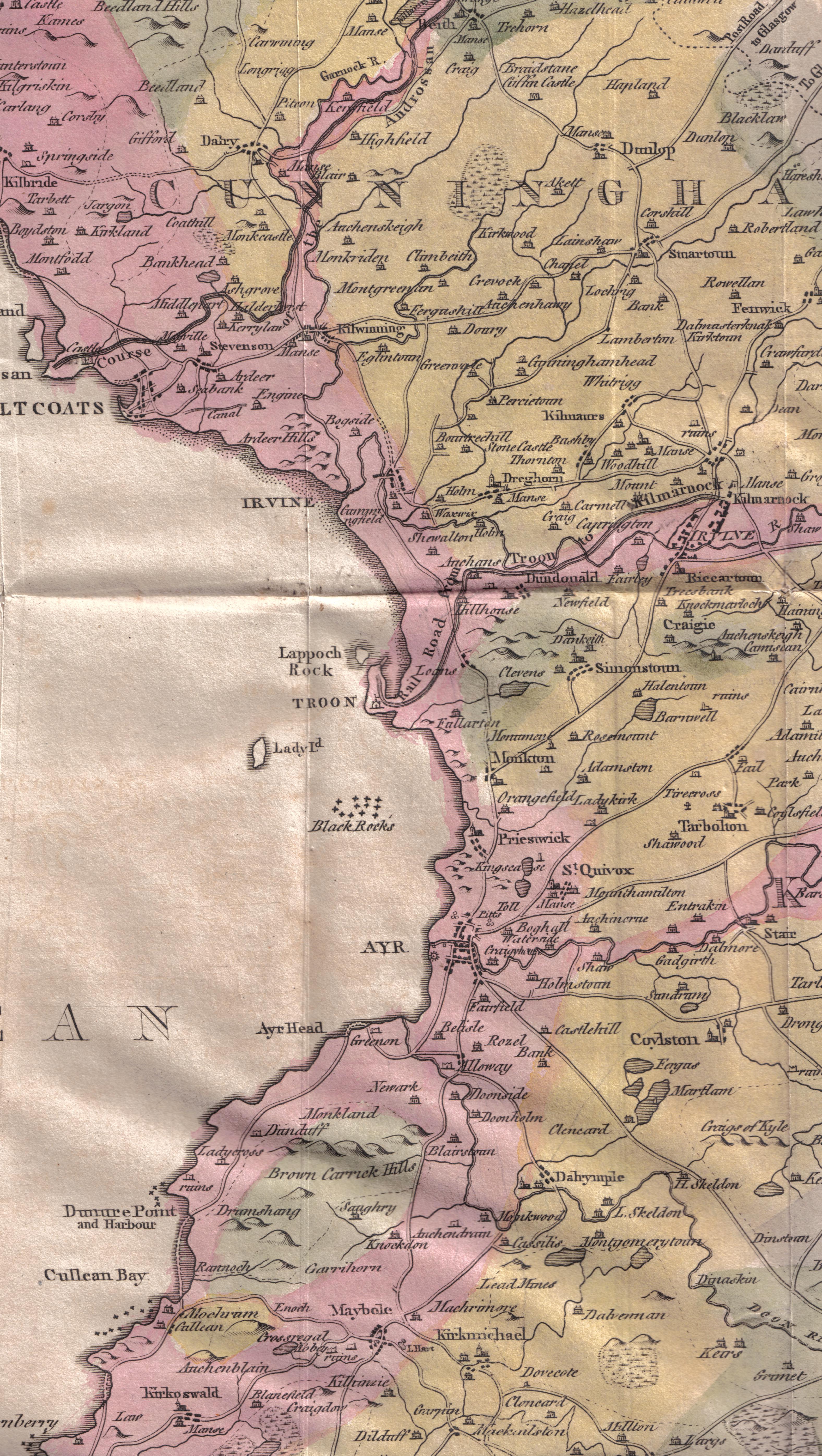
English: A map of Ayrshire showing Dunduff Castle and the roads and trackways. Scotland. |
| Date | |
| Source | William Aiton General View of the Agriculture of the County of Ayr |
| Author | Roger Griffith William Aiton |
Licensing
|
This work is in the public domain in its country of origin and other countries and areas where the copyright term is the author's life plus 100 years or fewer. | |
| This file has been identified as being free of known restrictions under copyright law, including all related and neighboring rights. | |
File history
Click on a date/time to view the file as it appeared at that time.
| Date/Time | Thumbnail | Dimensions | User | Comment | |
|---|---|---|---|---|---|
| current | 01:38, 4 March 2010 | | 3,152 × 5,584 (3.02 MB) | Rosser1954 | {{Information |Description={{en|1=A map of Ayrshire showing Dunduff Castle and the roads and trackways. Scotland.}} |Source=William Aiton General View of the Agriculture of the County of Ayr |Author=Roger Griffith William Aiton |Date=1811 |Permission= |o |
File usage
The following 6 pages link to this file: